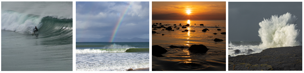
Credits: Ferdia McCrann, (image 1), Dr. Noel Fitzpatrick, (image 2-4)
The 7 day sea surface temperature map animation is based on data and products of the European Centre for Medium-range Weather Forecasts (ECMWF).
View reports from The Irish Marine Data Buoy Observation Network.
Graph of each buoy displaying their Mean and Maximum wind speed, air temperature, sea temperature and wave height data for each month since their installation is available along with the climatology for Malin Head sea thermometer.
The 10-day swell forecast provide information on the height (coloured legend in metres), direction (arrows) and period (in seconds) of the swell waves. Data for the forecasts are produced by the European Centre for Medium-range Weather Forecasts (ECMWF) and are updated once per day. The forecast maps are provided in 3-hourly timesteps for the first 120 hours and 6-hourly timesteps for the remaining period out to 240 hours (10 days). Swell Waves (also known as ground swell) are waves that have been generated by distant storms and low-pressure systems at sea and have travelled into the forecast area. The swell height values provided in these maps are known as the significant wave heights, which are calculated as the average of the largest 1/3 of waves in the swell. Swell period is the average time between the peaks of the waves in a swell, and swell direction is the average direction of travel for waves in that swell.
The 10-day wind-sea forecast provide information on the height (coloured legend in metres), direction (arrows) and period (in seconds) of wind-sea waves. Data for the forecasts are produced by the European Centre for Medium-range Weather Forecasts (ECMWF) and are updated once per day. The forecast maps are provided in 3-hourly timesteps for the first 120 hours and 6-hourly timesteps for the remaining period out to 240 hours (10 days). Wind-sea (or wind-swell) waves are waves that have been generated locally by the wind blowing over the water in that area, and therefore, wind-sea is very dependent on local wind conditions. The wave height values provided in these maps are known as the significant wave heights, which are calculated as the average of the largest 1/3 of wind-sea waves. Wave period is the average time between the peaks of the wind-sea waves, and wave direction is the average direction of travel for the wind-sea waves in a given area.
The Total Wave Height forecast map is available here.
Wind-sea (or wind-swell) waves are waves that have been generated locally by the wind blowing over the water in that area, and therefore, wind-sea is very dependent on local wind conditions. Swell Waves (also known as ground swell) are waves that have been generated by distant storms and low-pressure systems at sea and have travelled into the forecast area.
The height values provided in these maps are known as the significant wave heights, which are calculated as the average of the largest 1/3 of the swell or wind-sea waves. The actual height of the waves in a given location will depend on how the swell and wind-sea waves combine, the period of the waves, wind conditions, the local seabed, and on whether the coastline is sheltered or exposed to the direction of the waves. Wave period (given in seconds) is the average time between the peaks of the waves. You can measure this yourself at the beach by counting the seconds between waves as they break on the shore. Wave direction is the average direction of travel for waves in that swell or wind-sea.
Waves in a given area that have been primarily generated from wind-sea tend to be more irregular and disorganised in terms of size and have shorter wave periods. Swell waves, which can travel thousands of kilometres across the ocean from where they were generated, have more time and distance to become organised into uniform bands of waves with similar characteristics. Swell waves are generally more regularly spaced than wind-sea waves, have longer periods and can have the potential to be more powerful. Surfers generally look for longer-period swell waves, combined with light offshore winds (minimal wind-sea), to ensure good surfing conditions.
If you’d like to know more, check out the ‘Waves and the Science of Surfing’ episode of the Met Éireann Podcast, Series 1 Episode 8.
The images on the Sea Conditions webpage are released under a CC-BY-4.0 licence. Please credit @Met Éireann if re-producing.
