Forecast issued at: Saturday 04th April 2026 16:00
Rain
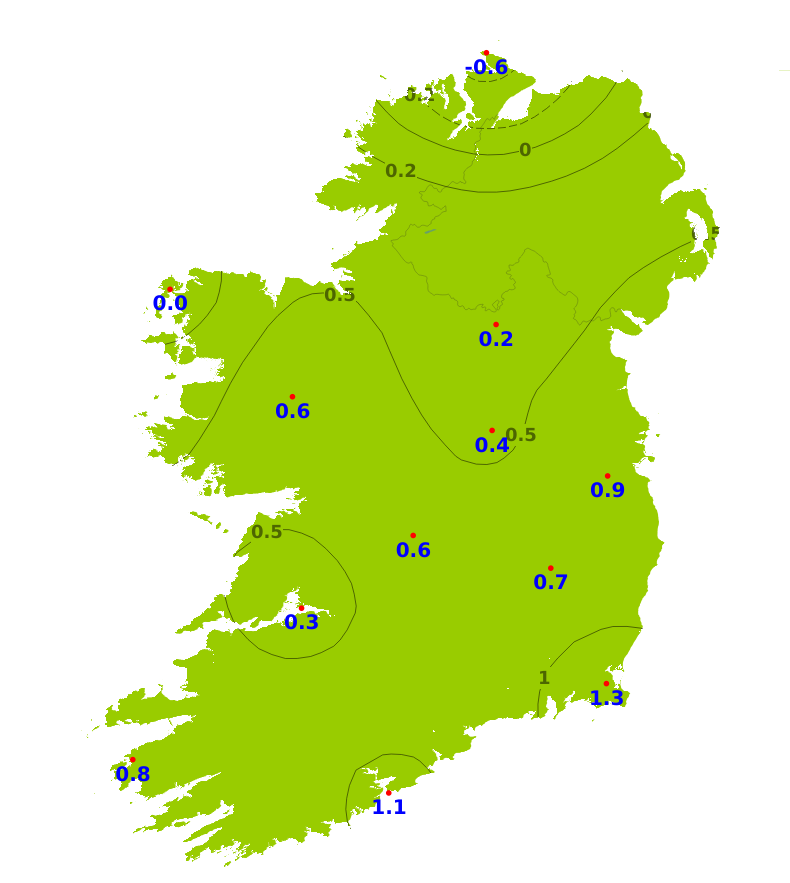
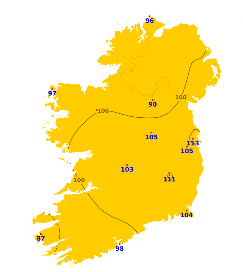
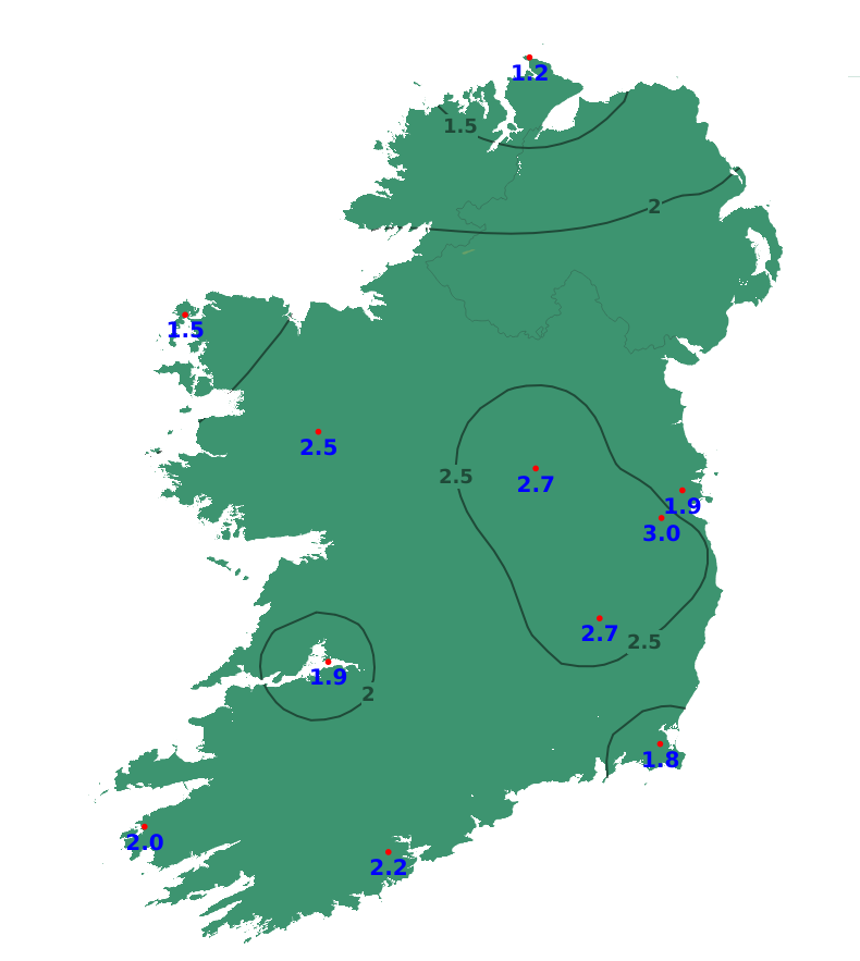
Over the past seven days, rainfall amounts varied significantly across the country, with the west and northwest receiving generally near to above average, while it was drier in the south and east. The least amount of rainfall was recorded at Roches Point, Co. Cork, which received only 2.4mm or 15% of average, while the highest amount, 27.6mm or 141% of normal, was recorded at Malin Head, Co. Donegal. Our weather will be unsettled over the Easter weekend, with the heaviest rainfall on Saturday due to Storm Dave and with mixed but drier conditions for the rest of the weekend. Into next week it'll continue mixed and changeable with further rain, though with some uncertainty in the forecast from around the middle of next week. Rainfall amounts of between one and two times the average are expected generally, though a little below average in some eastern and southern coastal parts.
Temperatures
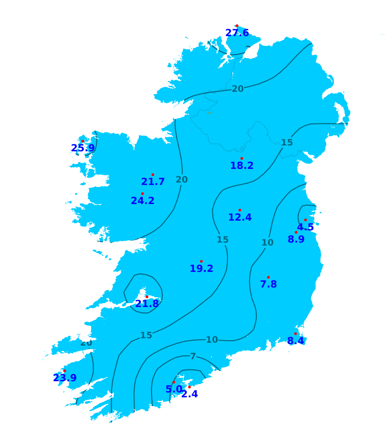
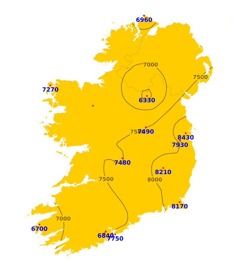
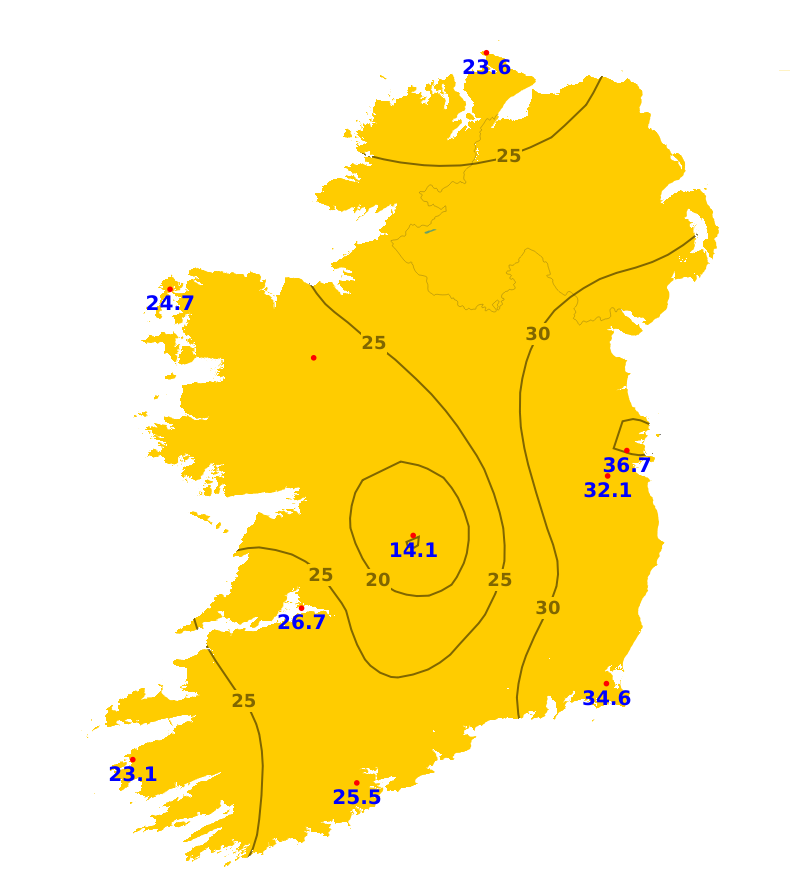
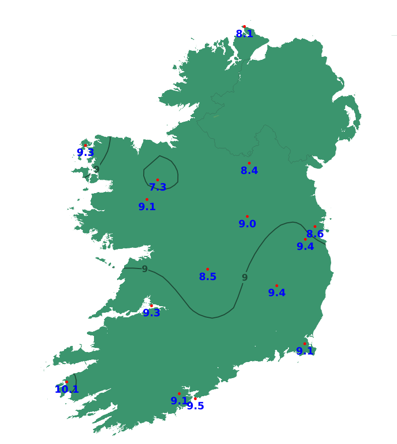
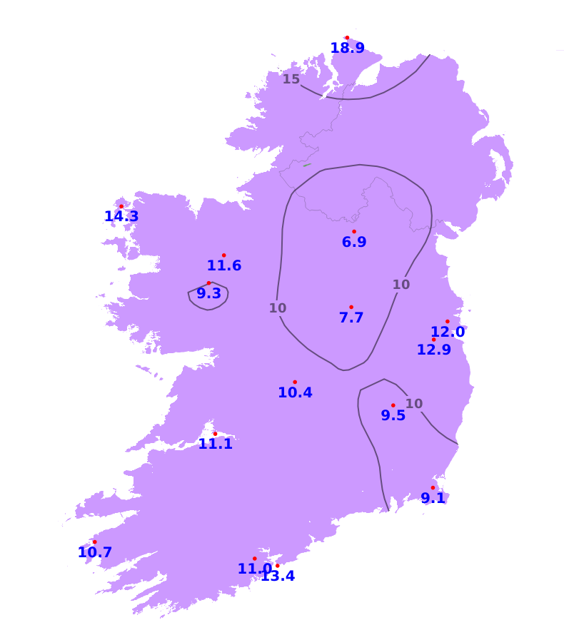
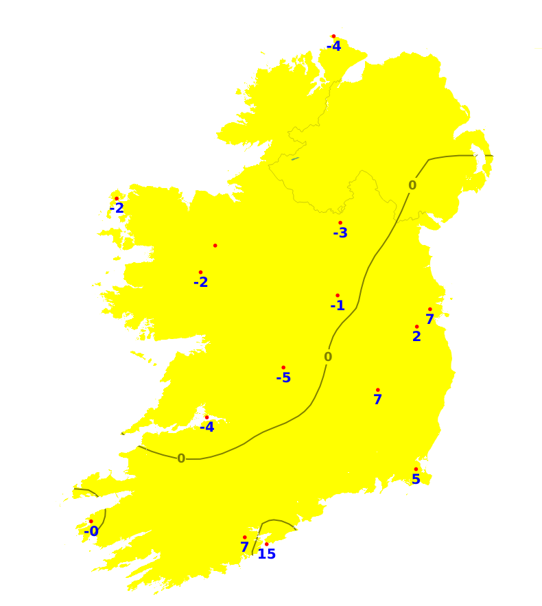
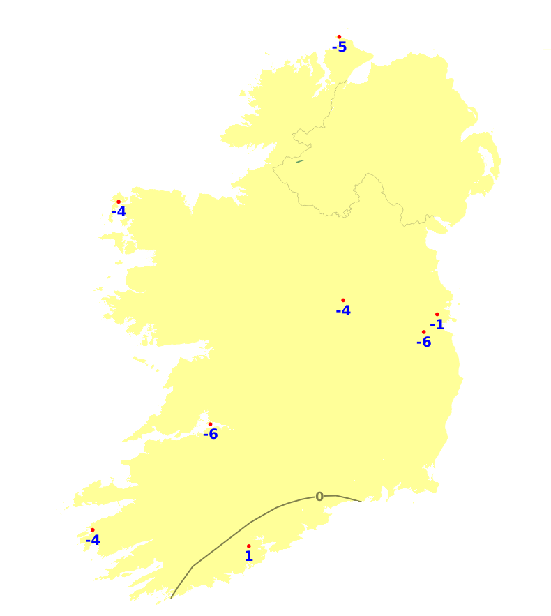
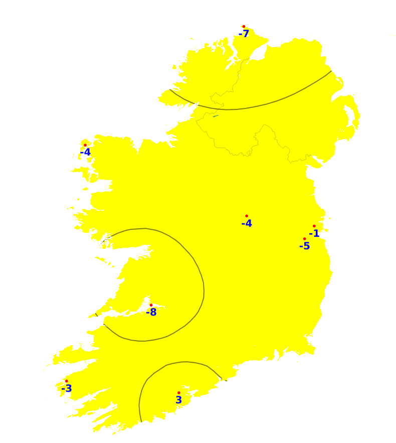
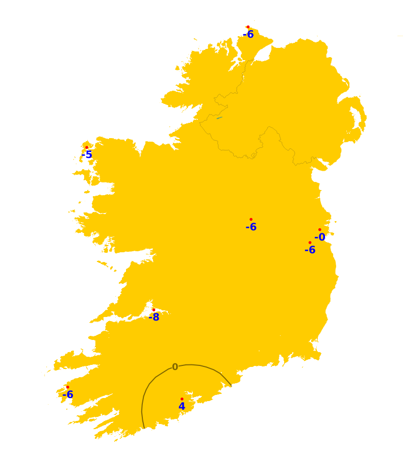
Mean air temperatures over the past week were mostly around or a little above normal, though slightly below normal in the far north, with values ranging from 7.2 to 9.6 degrees Celsius. Mean soil temperatures have been above normal by between one and three degrees, ranging from 7.3 degrees to 10.1 degrees. The coming week will see fluctuations between milder and cooler than average conditions, overall likely averaging around normal. Mean soil temperatures will remain above average.
Sunshine
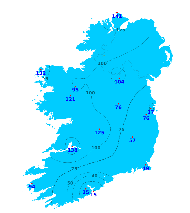
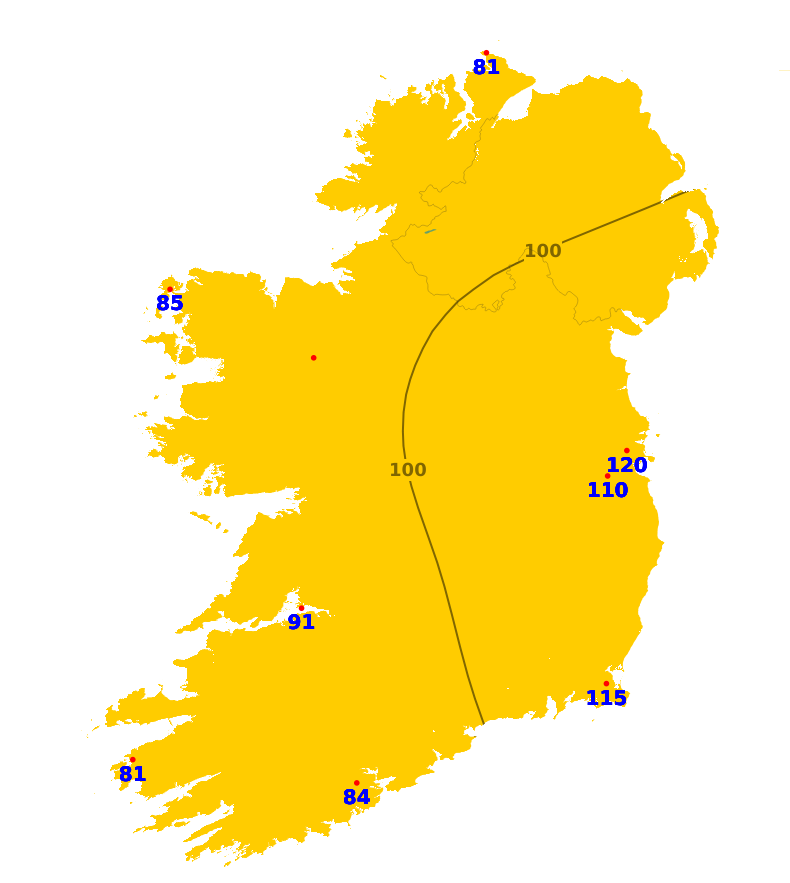
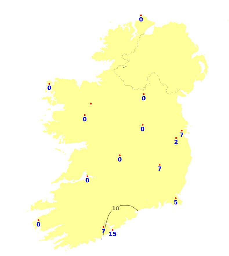
Sunshine amounts over the past week were generally close to normal, with amounts ranging from 23.1 hours at Valentia, Co. Kerry, to 36.7 hours or 120% of average at Dublin airport. Over the coming week, the weather will be mixed, and while there'll be sunny spells at times, sunshine amounts likely to come in a little below average.
Drying Conditions
Drying conditions will be poor generally over the coming week, though there's likely to some good drying in the midlands and east on Monday.
Spraying
There will be very limited spraying opportunities for the week ahead, though with a chance through midweek.
Field Conditions
Light and moderately drained soils in the south and east are trafficable, but otherwise light and moderately drained soils are saturated. Many poorly drained soils are saturated or waterlogged, though conditions are a little better in some southern coastal parts, with soil moisture deficits in poorly drained soils here currently between 2mm and 11mm. With mixed conditions for the week ahead, there'll be little change overall in field conditions although, some poorly drained soils in the south and east may improve by the end of the period.
Forecast maps and meteograms can be found on Blight Forecast.