Forecast issued at: Thursday 19th February 2026 11:00
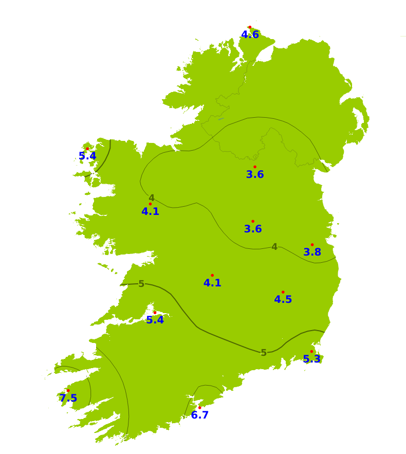
Rain
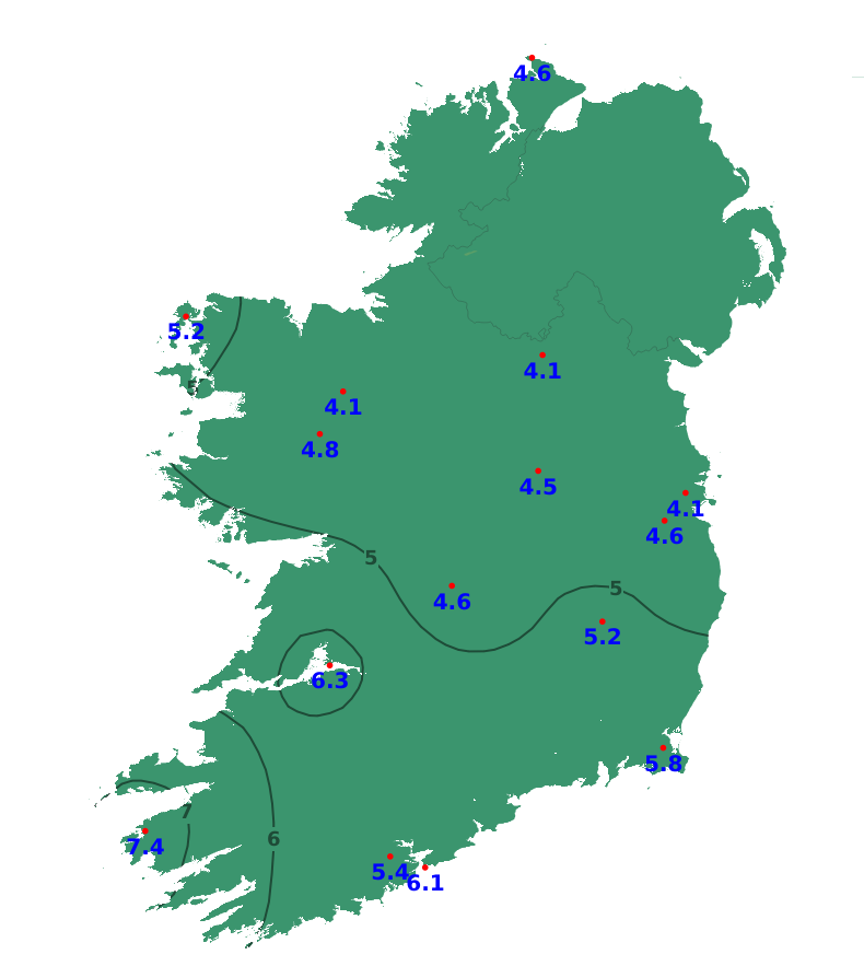
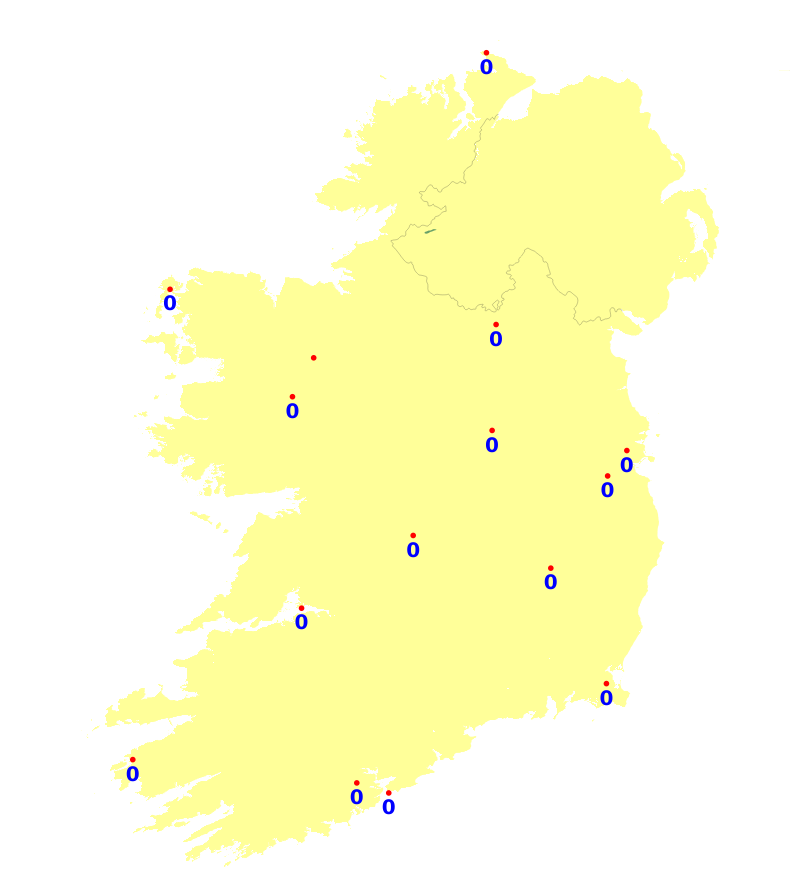
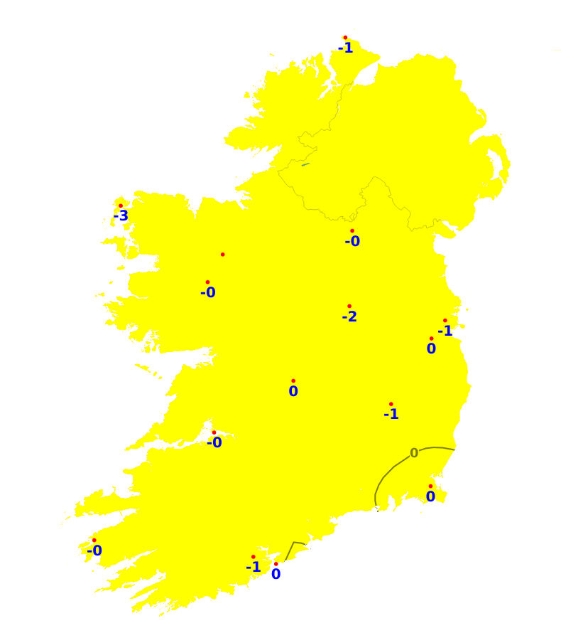
Rainfall amounts were well above average across parts of the midlands and east over the last 7 days with accumulations ranging from around 180 to 480% of average. In Munster and southern parts of Leinster as well as northern and western coastal areas, however, rainfall amounts were closer to average, ranging from 80% to 150% of normal. Dublin Airport recorded the most, with 58.5mm (479% of its average) while Belmullet, Co. Mayo recorded the least with 15.9mm (66% of its average). Over the coming week, our weather will continue mostly unsettled with between 150 and 300% of the average rainfall amounts expected. In contrast to recent weeks, however, the highest totals are expected to be in the west and southwest.
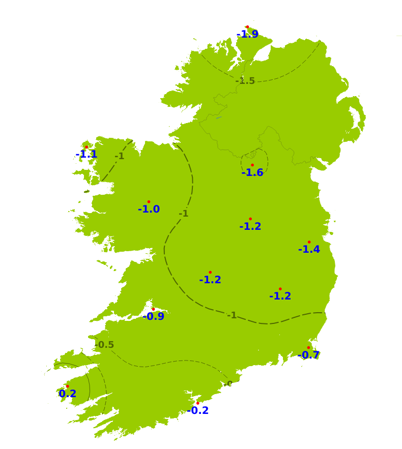
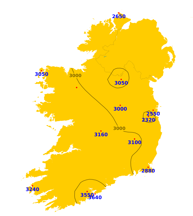
Temperatures
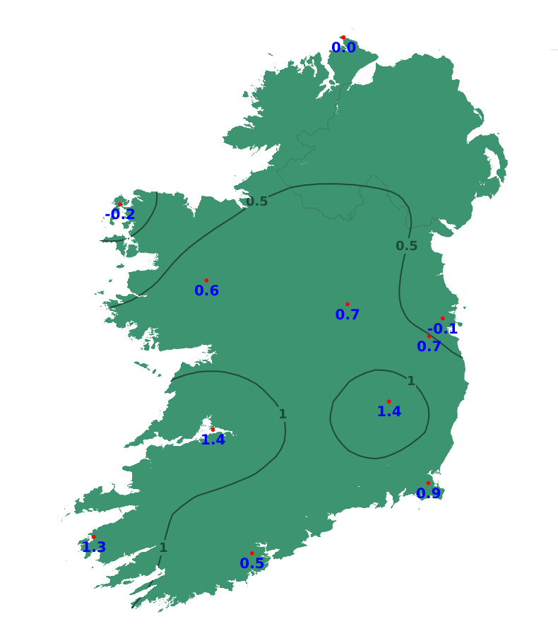
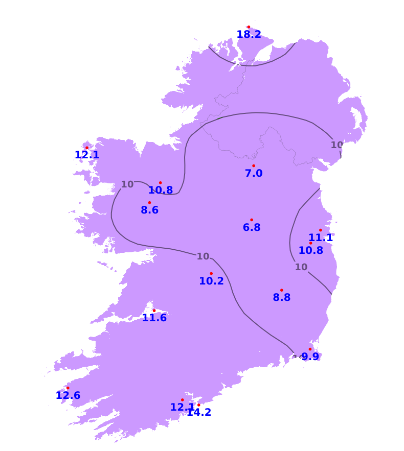
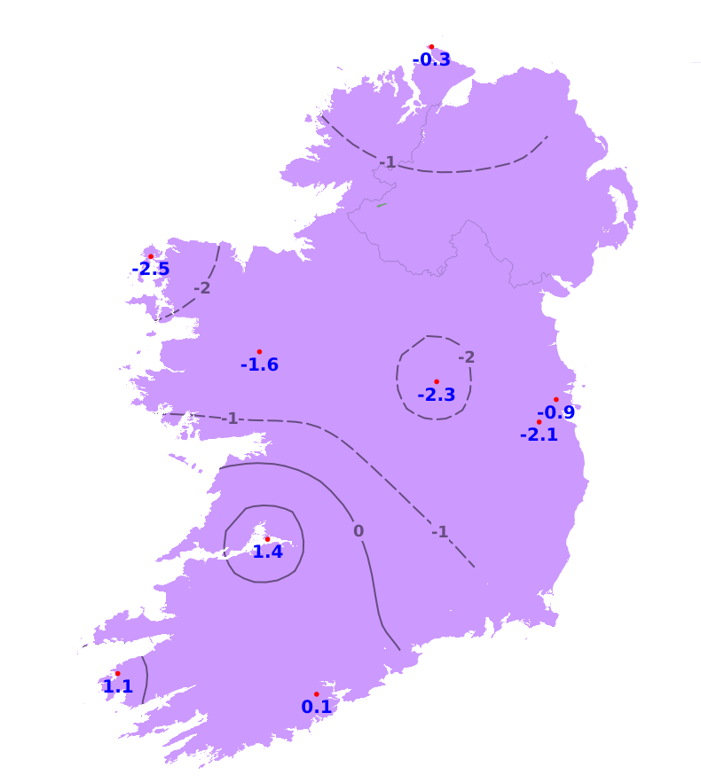
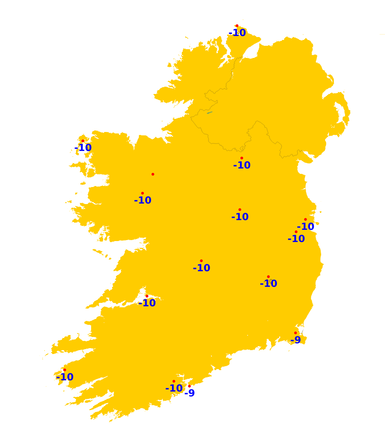
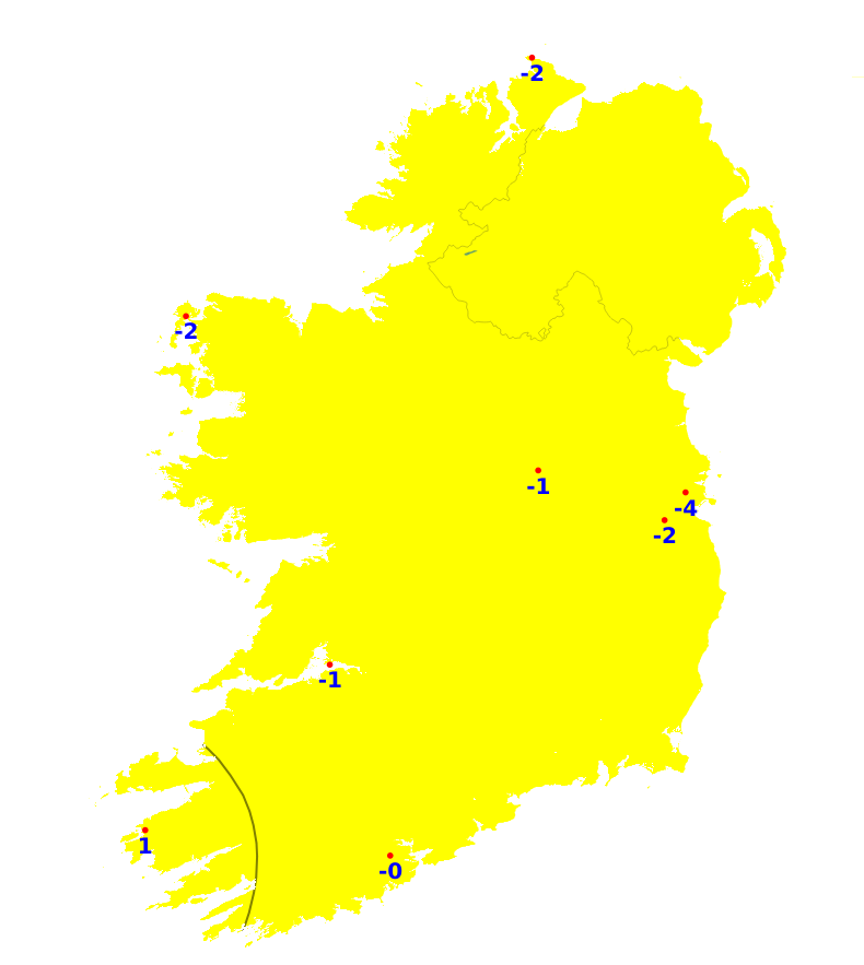
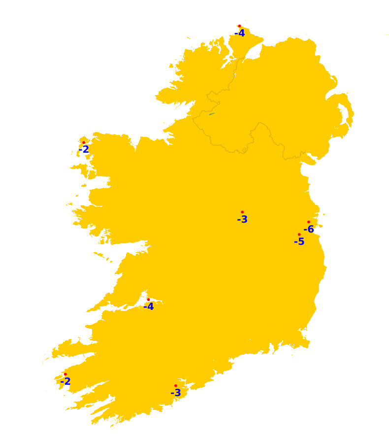
Mean air temperatures for the past week were close to or slightly below average overall, ranging from 3.3 degrees at Knock/Ireland West Airport, Co. Mayo up to 7.5 degrees at Valentia Observatory, Co. Kerry. Mean soil temperatures were above average throughout the country, ranging between 4.3 and 7.5 degrees. Over the coming days, temperatures will fluctuate, but indications are for them to trend warner than average by around 2 to 4 degrees. Mean soil temperatures will continue above average too.
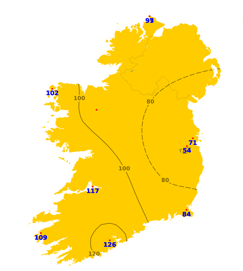
Sunshine
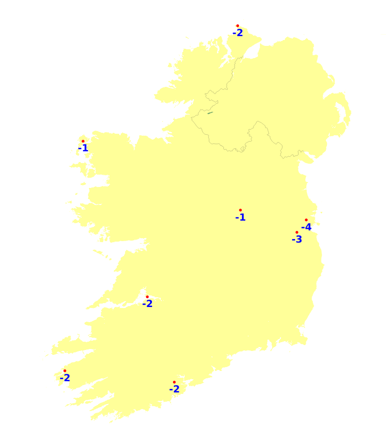
Sunshine amounts were close to or above average in the south-west, mid-west and south-east with 22.3 hours recorded at Cork Airport (129% of average). Elsewhere, it was duller with 9.1 hours recorded at Casement, Co. Dublin (51% of average). While there will be sunshine at times, this coming week will be mostly unsettled with below average sunshine amounts expected generally.
Drying Conditions
Drying conditions will be poor over the coming days with spells of rain or frequent showers.
Spraying
There be limited opportunities for spraying this week with mostly unsettled conditions.
Field Conditions
All poorly drained soils and some moderately drained soils are waterlogged, while all other soils are saturated. Over the coming week, there will be a further deterioration with more moderately drained soils becoming waterlogged.
Forecast maps and meteograms can be found on Blight Forecast.